
スクリーンショット


説明
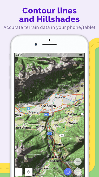
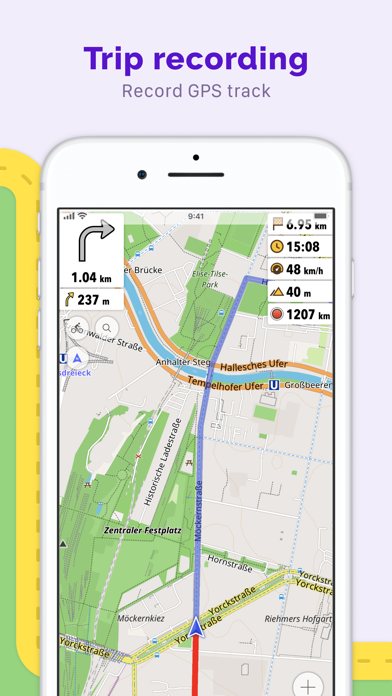
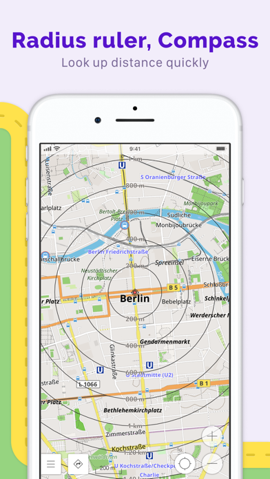
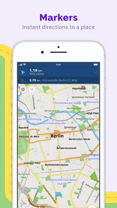
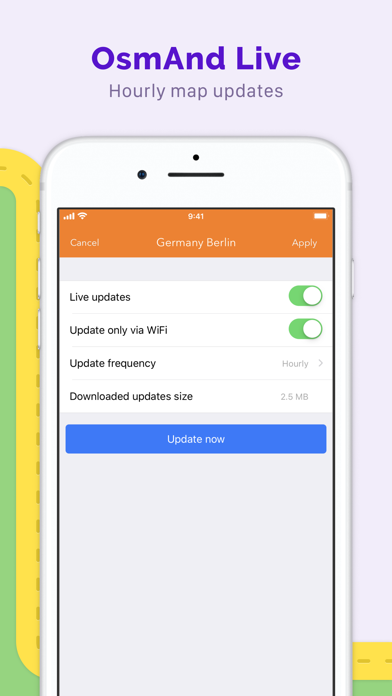
OsmAnd is an offline maps and navigation app for people who want reliable guidance, detailed maps, and full control over their routes. Download complete maps by country or region, search by address, place, or coordinates, and navigate with turn-by-turn voice guidance — even without internet access. With OsmAnd, you can: · Navigate offline for driving, cycling, walking, hiking, and more · Plan routes with intermediate stops and automatic rerouting · Use detailed OpenStreetMap-based maps with POIs, Favorites, and customizable overlays · Display, record, import, and navigate GPX tracks · Explore foot, hiking, and bike paths included in offline maps · Add contour lines and hillshading for better terrain awareness · Get lane guidance, street names, ETA, and optional screen alerts · Keep maps on your device for dependable use at home, abroad, and in remote areas OsmAnd is built for everyday navigation, travel, and outdoor exploration. It combines offline reliability with powerful route planning, detailed map data, and advanced tools for users who want more than a basic navigation app. Built on OpenStreetMap and developed as an open-source project, OsmAnd is privacy-friendly and gives you control over your data and app access. Maps are available worldwide and updated regularly, with optional hourly updates through Live Updates feature. Terms of Use: https://osmand.net/docs/legal/terms-of-use Privacy Policy: https://osmand.net/docs/legal/privacy-policy
新機能
バージョン 5.3.3 · 2026/5/16• 3D Buildings support • Spherical map view • New color modes for Speedometer: tolerance and speeding • Customizable map buttons: size, shape, and background style • Resizable location position icon • New Trip Recording widgets: Max Speed and Average Slope; improved Uphill/Downhill • Track Analyzer: improved axis selection and recorded vehicle metrics support • Merge waypoints into a Favorites folder • Share link to any POI • CarPlay: fixed unresponsive map on Dashboard; added "Always show dark map" support • CarPlay: smoother location icon; post-navigation dialog with options to find parking, finish, or recalculate • Improved connectivity for paired OBD-II adapters • Fixed ETA not updating in Navigation widgets while stationary
情報
- 販売元
- OsmAND B.V.
- カテゴリ
- Travel
- バージョン
- 5.3.3
- 対応OS
- iOS 15.0+
- サイズ
- 253.5 MB
- 年齢制限
- 4+